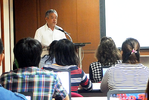
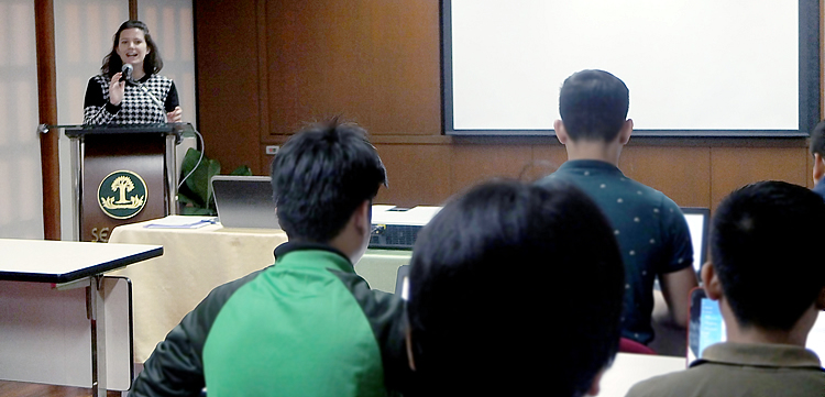
Thirteen participants from state universities and international organizations joined the course conducted by Ms. Colleen Curran, Project Officer of the Philippine Disaster Recovery Foundation.
 “Recent events have shown that extreme weather conditions and climate change do much damage to agriculture and pose a big challenge to food security,” said Dr. Gil C. Saguiguit, Jr, Director of SEARCA as he stressed the importance of the short course, during its opening ceremonies on 22 October 2015.
“I hope that this training will help enhance your research, extension projects and study programs, to benefit more people in your communities,” Dr. Saguiguit concluded.
The short course covered fundamentals of the GIS application – QGIS, an open source application for GIS and how it can be used for research.
The discussion also centered on the status of GIS/Geospatial Data in the Philippines, and coupled with hands-on map making; data management; creating data from Google Earth; importing KML files to QGIS; geo-referencing; building rasters from point data; projecting climate grids using raster calculator; and uploading and revising GPS data. This included a field trip to the Philippine Rice Research Institute station in Los Banos, Laguna and two private rice farms in Victoria, Laguna where the participants went hands-on in collectingsoil samples, tracking GPS points, and determining GPS coordinates.
This short course was the fourth of the series of short courses being sponsored by the Food Security Center (FSC) of the University of Hohenheim. FSC is one of the five excellence centers of the program "Exceed- Higher Education Excellence in Development Cooperation" supported by the German Academic Exchange Service (DAAD) with funds from the Federal Ministry of Economic Cooperation and Development (BMZ) of Germany. SEARCA is one of the strategic partners of FSC since 2009. The course is preceded by the short courses on Agricultural Value Chain, Precision Farming and Water Resource Management.
